Safety must remain the highest priority in construction projects; however, traditional geological valuations often fail to meet the accuracy and reliability needed for modern engineering standards. Traditional techniques of geology may lead to the collapse of buildings and bridges as they are based on old information or are not accurate enough. Build Safe Up is the new definition of safety in construction. It uses advanced technology to provide accurate and real-time data on geological conditions, helping to prevent building collapses and protect settlements. We present the advanced system in which the site assessment is comprehensive.
Our Core Solutions
We manage vital safety concerns on the working sites and underground with satellite images, Industrial Internet of Things (IIOT) proximal detectors, and AI-based data exchange. There are systematic methods of averting the traditional weaknesses that our approach will address. This ensures that all constructions are placed on the strongest base ever.
Eliminating Inaccurate Assessments
Old forms of assessment often lead to inaccuracy. They weaken the integrity of buildings. In high-resolution imagery and geospatial information, Build Safe Up employs Lancet satellites. The properties of the soil and rock are also accurately studied using specialized wave geomorphologic equipment. This provides faultless precision in geologic assessments.
Overcoming High Costs and Delays
Traditional geological evaluations are often monotonous and costly. This increases the project budget and causes a lot of delays. Assessment is a process developed by Build Safe Up. Using our efficient, technology-driven methods minimizes costs and saves time on the project. This enables faster, cheaper development at no expense of safety.
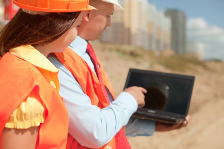
Bridging Expertise Gaps
Most areas do not have enough trained specialists or equipment to do wide-ranging work on geomorphology. This makes people involved to natural disasters. Build Safe Up represents such a solution as an easy-to-use web-based data analysis and storage platform. We train and support local professionals as well. This provides the communities with the necessary knowledge and resources.
Ensuring Consistent Data Integration
Geomorphological data from several sources are always dispersed. This shortage harms efficient decision-making and risk mitigation. Build Safe Up utilizes pioneering data processing algorithms. We share satellite data and IIOT device information through hybrid data processing methods. This creates a full view of the potential risks where no significant data is left out.
Mitigating Catastrophic Failures
The absence of portable assessment equipment that can be organized immediately raises the likelihood of structural breakdowns. Build Safe Up offers the IIOT geological equipment that is customizable. The modular sensor systems are very accurate and fast when studying the land structure. Their mobility allows them to be set up in an extremely short period of time, which automatically decreases the risk of introducing unexpected structural complications.
Predictive Analytics for Risk
The key to long-term safety is knowing the risks ahead. Build Safe Up considers using advanced AI-based analytics in its data processing. This enables high levels of risk forecasting and pre-terminal decision-making. Our system can detect possible existing threats before the escalation, strengthening structural defensibility.
Fostering Collaboration
Information exchange and sharing help improve safety standards across the industry. Build Safe Up is a service with open access on the web. Community engagement tools: We present the gathered geomorphological information. This encourages the sharing of knowledge and the creation of an atmosphere of cooperation in creating a safer future.
Closing Thoughts
The price of failure extends much more than financially; it takes away lives, schedules, reputations, and neighborhoods. Build Safe Up similarly allows users to identify and manage issues underground before they become severe, and thus, they can mitigate future structural risks. Risk can be measured and managed with IIOT sensors, AI models, and satellite intelligence. The sooner you can identify terrain problems, the sooner you will be able to find solutions to those problems in a smart way.
Conclusion
A proper way of avoiding collapse is not in the first beam; it begins at the ground itself. Build Safe Up equips builders to visualize risks before they happen, intervene as rapidly as possible, and build with no doubt in their minds. Since safety is not a reactive measure, it is a strategic measure.