All successful projects in construction start with confidence. That belief begins with what is under your own feet. Build Safe Up provides intelligent geo data that converts raw terrain data into quality protection through sensor networks, terrain intelligence, and satellite intelligence. From planning a residential block to a large infrastructure site, intelligent data points out risks way before they become tangible. This is a post about how Build Safe Up converts technical knowledge into active assurances, so that your next build is not left to chance.
Connecting the Ground to the Cloud
Build Safe Up combines capacitive sensing, satellite planning, and predictive analysis to provide a clear 360 view of your construction. The system gives a detailed description of the terrain. It has not only been issuing comprehensive reports but also supports the creation of potential dangers in the environment before they develop into serious problems.
Strategic Sensor Deployment for Terrain-Specific Risk
Modular IIOT sensors are not merely data collection equipment, but they react to requirements at the site. Teams adjust the location of the sensors according to the slope slants, water exposure, or urban infill to identify changing pressure patterns and vibrations. When alerts are made by these scouts, your team is provided with leading time before a period of instability builds up momentum.
Satellites Reveal the Big Picture
Above, satellite designs follow land movement, wear patterns, as well as concealed faults. This macro-level is complementary to on-site data, providing builders with background history and land patterns that cannot be seen at eye level. Ground and sky in combination create a safety net.
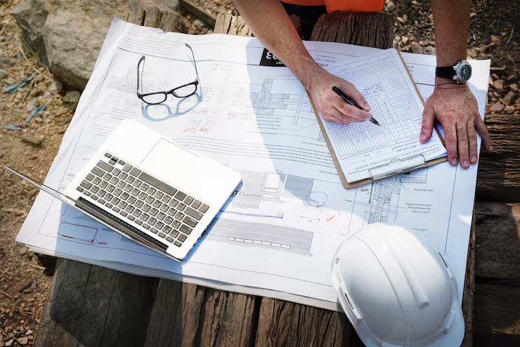
Dashboards Designed for Decision-Makers
The Build Safe Up interface delivers live sensor streams, terrain alerts, and visual data layers in a single web-based dashboard. Engineers examine ground response while managers monitor Project-wide risk. Whether in the field or on a tablet, stakeholders get information that keeps up with them.
AI Forecasts That Adapt to Environmental Change
Build Safe Up predictive models are constructed to model how a terrain will act over time, taking into consideration seasonal weather cycles, ground water movement, and stress build-up. These knowledge bases enable design teams to predict not only the weight support but also the sustainability of long-term climate resistance in each construction zone.
Turning Insight into Action on Site
Smart geo data isn’t just numbers—it’s a practical guide. Build Safe Up helps teams convert insight into decisions, ensuring every stage of the build is backed by science, not assumptions.
Proactive Planning Eliminates Last-Minute Surprises
Preliminary terrain analysis enables teams to configure foundations by avoiding areas of risk, reinforcement on the right scale, and avoiding rework. Intelligent planning does not delay the constructive process, it speeds it up and eliminates the problematic detours before they occur.
Compliance Made Clear and Fast
Geological safety validation is demanded more and more by the planning authorities. The exportable reports provided by Build Safe Up that are clean help in speeding up approvals and prove to be regulatory sensitive. Teams are no longer behind on permits and are trusted to be on top of their paperwork through documentation available when they need it.
Blueprints Aligned to Real Terrain Behavior
Terrain simulations can help designers to decide what materials to use, what kind of footing to apply, and what form of foundation to use. In these revelations, the paper decisions get to align with the real-world facts of the build location, making structures more accurate before the ground breaking.
Predictive Alerts for Safer Site Management
Site managers are no longer waiting until something gets broken. The motion thresholds, moisture thresholds, or ground-stress thresholds can be implemented. The information reaches those levels, sending out alerts in a real-time capacity so that proactive action can be taken. Risk control is turned into a live process, not a post-event one.
Closing Thoughts
A lot of the valuable terrain data remains unused, even though it is vital to project safety and planning. Build Safe Up makes it a working plan for those answers. Connected smart geo data turns into your very first, and arguably the most effective, line of defense, providing a common picture of what lies beneath the surface to builders, planners, and regulators.
Conclusion
Build Safe Up links the entire chain of safety, from the scan of the terrain to and decision of design. Data-driven teams are not built by compromise. When it comes to securing your new location, you should begin where all good projects start, that is, underground.